Bayelsa State, situated in the southern region of Nigeria, is a relatively young state that came into existence in 1996. Located in the heart of the Niger Delta, it was carved out of Rivers State, and Yenagoa serves as its capital. Known for its rich oil and natural gas deposits, Bayelsa plays a significant role in Nigeria’s energy sector, contributing substantially to the nation’s oil and gas production.
Bayelsa State is divided into eight Local Government Areas (LGAs), each having its own distinct administrative headquarters. The LGAs are administrative units that contribute to the governance and development of the state. The LGAs in Bayelsa include Yenagoa, Brass, Ekeremor, Kolokuma/Opokuma, Nembe, Ogbia, Sagbama, and Southern Ijaw.
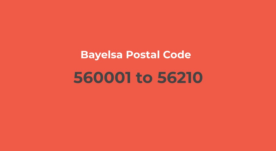
Bayelsa State Postal Code
The postal code, also known as the ZIP code in some countries, is used for sorting and delivery of mail and parcels. For Bayelsa State, the general postal code, or ZIP code, is 560001. It is important to note that while this code is often used for general reference, each local government area within Bayelsa has its own unique postal code.
The Bayelsa State Postal Code ranges from 560001 to 562101. This allows for precise identification and delivery of mail to specific locations within and outside the state. The central hub for postal activities in Bayelsa is located in its capital city, Yenagoa, at the General Post Office, which also serves as the NIPOST Headquarters in the state.
Bayelsa Postal Code List
Below is a list of Bayelsa State Postal Codes, organized by local government areas:
| Bayelsa State L.G.A | Postal Code | Post Office |
|---|---|---|
| Brass | 562101 | Brass town Square |
| Ekeremor | 561102 | N/A |
| Kolokuma/Opokuma | 560102 | N/A |
| Nembe | 561002 – 562102 | Anglican Church Road |
| Ogbia | 561003 – 562103 | Okilo Street, Ogbia |
| Sagbama | 561101 | Mile ll Secretariat, Sagbama |
| Southern Ijaw | 560103 – 560104 | N/A |
| Yenagoa | 560001 – 560101 | 4 Hospital Road, Ovom, Yenagoa |
Bayelsa ZIP Code vs. Postal Code
The terms “ZIP code” and “postal code” are often used interchangeably, leading to some confusion. However, there are subtle differences between the two:
ZIP Code
ZIP stands for “Zone Improvement Plan,” and it is a postal code used specifically in the United States. ZIP codes were introduced in 1963 to enhance mail delivery efficiency by dividing the country into zones. They are numeric and typically consist of five digits, with an optional four additional digits for more precise location information.
Postal Code
The term “postal code” is more generic and is used internationally. It refers to a series of letters, numbers, or both assigned to a specific geographic area to facilitate the sorting and delivery of mail. In the case of Bayelsa State, Nigeria, the postal code is a numeric identifier, reflecting the unique characteristics of the Nigerian postal system.